Satlas
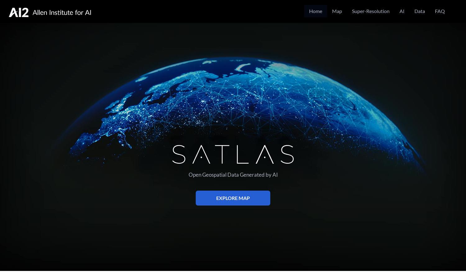
About Satlas
Satlas makes it easy for researchers and enthusiasts to explore our planet's transformations through AI-enhanced satellite imagery. Users can analyze critical environmental changes and access unique super-resolution features to view high-quality images. With publicly available geospatial datasets, Satlas empowers users to uncover valuable insights about our world.
Satlas offers free access to its AI-generated geospatial datasets and models, enabling users to download data for offline use. Additional offerings include various subscription tiers that provide enhanced features and data access. Upgrading courses unlocks more substantial datasets and advanced analysis tools tailored to user requirements.
The user interface of Satlas is designed for seamless interaction, featuring an intuitive layout that simplifies navigation. The platform emphasizes user-friendliness with easy access to data visualization tools and super-resolution imagery, enabling users to effortlessly explore changes on Earth with Satlas's powerful functionalities.
How Satlas works
Users start with Satlas by visiting the site and navigating through its various features using an intuitive interface. They can explore satellite imagery and access geospatial datasets effortlessly. By applying AI tools, users uncover insights about changes in infrastructure, renewable energy, and tree cover on a global scale, enhancing understanding of critical environmental issues.
Key Features for Satlas
AI-annotated Satellite Imagery
Satlas offers groundbreaking AI-annotated satellite imagery that empowers users to visualize and analyze global environmental changes. This unique feature stands out by providing detailed insights into elements like tree cover loss and renewable energy development, enhancing users' understanding of critical ecological transitions.
Super-Resolution Imaging
The super-resolution feature of Satlas enhances low-resolution satellite imagery, allowing users to access high-quality images at a global scale. By employing sophisticated AI models, this functionality delivers clearer, more detailed visuals that facilitate in-depth analysis and better appreciation of our planet's changing landscape.
Publicly Available Geospatial Data
Satlas provides users with freely accessible geospatial data, enabling offline analysis and research. This key feature enhances usability and ensures that researchers and enthusiasts can explore and download vital datasets, making it easier to study environmental trends and infrastructure changes across the globe.